COMPREHENSIVE MAPPING OF BURIED UTILITIES WITH AUGMENTED REALITY
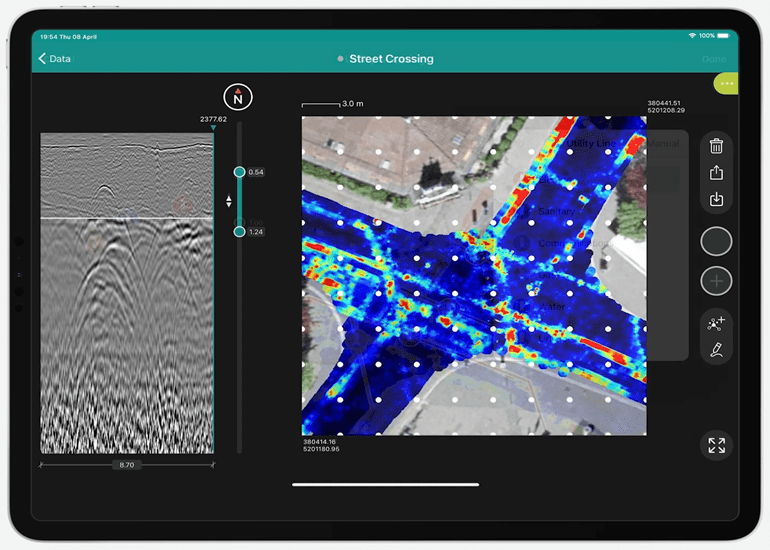
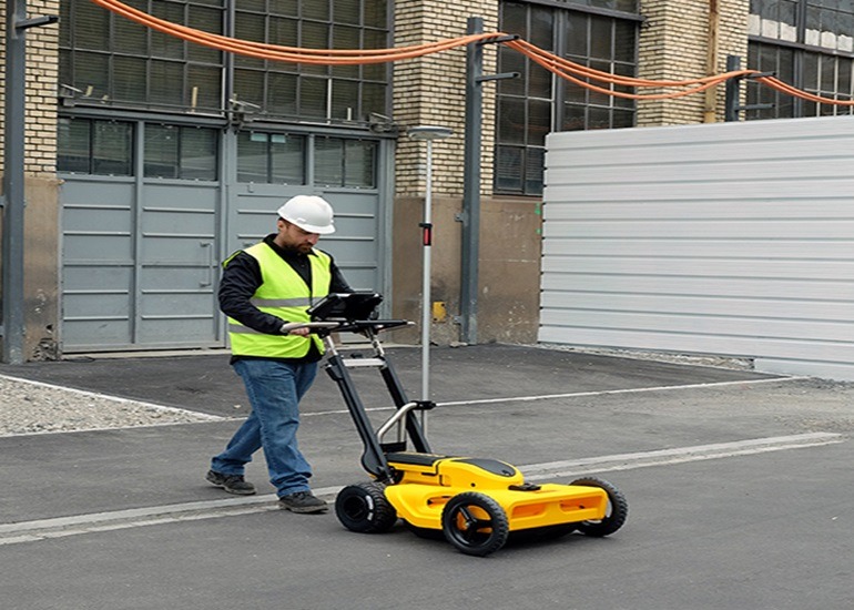
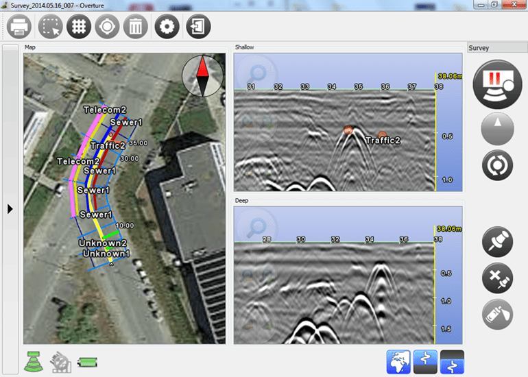
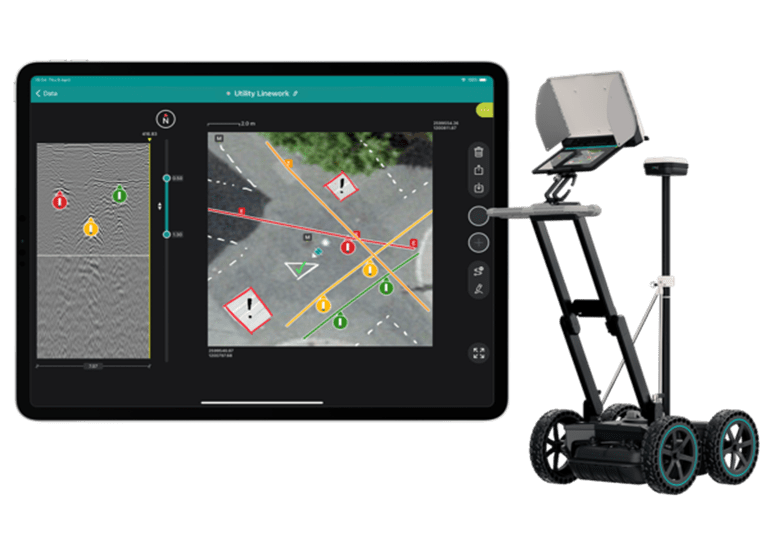
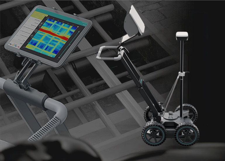
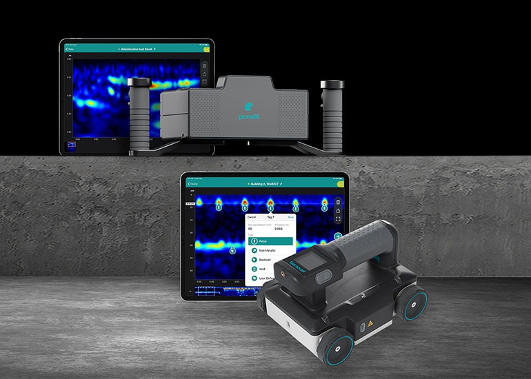
Our organization utilizes the most current latest technology GPR equipment for wide area mapping, based on longitudinal and grid surveys for mapping utility services, with the option of grid based area mapping for 3D augmented reality visualization of buried nonmetallic and metallic utilities.
Ground penetrating radars used are based on a wide variety of technology options, ranging from dual frequency GPR for simultaneous detection of shallow and deep utilities, to SFCW GPR with sweep frequencies.
We can offer GPR utility detection or mapping services in two ways.
On field detection and advice, or complete mapping with GNSS coordinates of survey.


